India is a vast country that spans over 3.2 million square kilometers. It is located in South Asia and shares its borders with Pakistan, China, Nepal, Bhutan, Bangladesh, and Myanmar. The Indian Ocean, Bay of Bengal, and Arabian Sea surround the country's southern peninsula, making it a peninsula nation.
Here are some interesting geographical facts about India:
- The Himalayan mountain range spans across the northern part of India and is home to some of the world's highest peaks, including Mount Everest.
- The Thar Desert, also known as the Great Indian Desert, covers a large part of western India and is one of the most arid regions in the world.
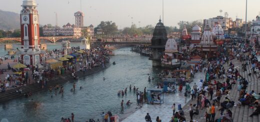
- The Ganges River, which is considered sacred by Hindus, flows through India and is one of the most significant rivers in the world.
- The Sundarbans, the world's largest delta, is located in India's eastern state of West Bengal and is home to the Royal Bengal Tiger.
- India's southernmost point, Kanyakumari, is the meeting point of the Arabian Sea, Bay of Bengal, and the Indian Ocean.
India's diverse geography has given rise to a rich cultural heritage and plays an essential role in shaping the country's economy and lifestyle.